2015
NZ2567 : Green at Jesmond Dene
taken 9 years ago, near to Heaton, Newcastle Upon Tyne, England
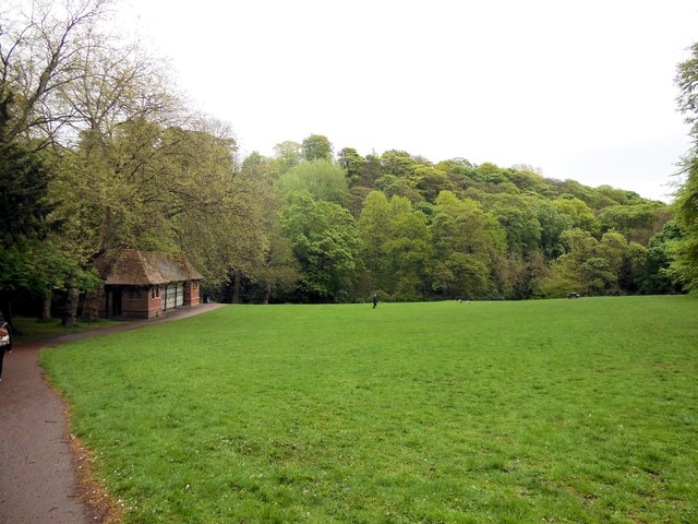
Green at Jesmond Dene
Jesmond Dene is a public park in the east end of Newcastle upon Tyne NZ2666 : Playing in the dene. It occupies the narrow steep-sided valley of a small stream known as the Ouse Burn NZ2666 : Jesmond Dene
The park was first laid out by Sir William George Armstrong (Lord Armstrong) Link who lived with his wife in Jesmond Dene House in the 1860s (to the west of the Dene) NZ2567 : Jesmond Dene House...NZ2567 : Jesmond Dene House
They landscaped and improved land that was bought within the Dene. The design was intended to reflect a rural setting within the city, with woodland, crags, waterfalls, pools, grottos and romantic ruins NZ2567 : The waterfall in Jesmond Dene.
In 1860, local architect, John Dobson, was commissioned to design a banqueting hall in the Dene NZ2666 : The Banqueting Hall On Jesmond Dene Road NZ2666 : Jesmond Dene Banqueting Hall
Jesmond Dene is now owned by Newcastle City Council and contains a free-entry petting zoo known as "Pets' Corner", which has been a popular family attraction since the 1960s.
The iron-constructed, Armstrong Bridge, spans the south end of the Dene, is now closed to traffic, and is host to a crafts fair every Sunday morning NZ2666 : Under the Bridge
Based on the Wikipedia entry Link
Other sources:
Sitelines: Link
History of Jesmond Dene: Link
Jesmond Dene Old Mill: Link
Jesmond Dene by Timmonet: Link
Walk in Jesmond Dene: Link
Old postcards of the Jesmond Dene Link
See other images of Jesmond Dene
The park was first laid out by Sir William George Armstrong (Lord Armstrong) Link
They landscaped and improved land that was bought within the Dene. The design was intended to reflect a rural setting within the city, with woodland, crags, waterfalls, pools, grottos and romantic ruins NZ2567 : The waterfall in Jesmond Dene.
In 1860, local architect, John Dobson, was commissioned to design a banqueting hall in the Dene NZ2666 : The Banqueting Hall On Jesmond Dene Road NZ2666 : Jesmond Dene Banqueting Hall
Jesmond Dene is now owned by Newcastle City Council and contains a free-entry petting zoo known as "Pets' Corner", which has been a popular family attraction since the 1960s.
The iron-constructed, Armstrong Bridge, spans the south end of the Dene, is now closed to traffic, and is host to a crafts fair every Sunday morning NZ2666 : Under the Bridge
Based on the Wikipedia entry Link
Other sources:
Sitelines: Link
History of Jesmond Dene: Link
Jesmond Dene Old Mill: Link
Jesmond Dene by Timmonet: Link
Walk in Jesmond Dene: Link
Old postcards of the Jesmond Dene Link
See other images of Jesmond Dene
 Map © Crown Copyright")
TIP: Click the map for more Large scale mapping
- Grid Square
- NZ2567, 133 images (more nearby 🔍)
- Photographer
- Paul Gillett (more nearby)
- Date Taken
- Monday, 18 May, 2015 (more nearby)
- Submitted
- Wednesday, 20 May, 2015
- Subject Location
-
OSGB36:
 NZ 25803 67132 [1m precision]
WGS84: 54:59.8861N 1:35.8916W - Camera Location
-
OSGB36: NZ 25721 67146
- View Direction
- EAST (about 90 degrees)