2015

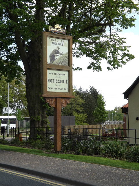
TM1179 : The Thatchers Needle Public House sign

taken 9 years ago, near to Diss, Norfolk, England

The Thatchers Needle Public House sign
Off the A1066 Park Road
LinkExternal link

Creative Commons Licence [Some Rights Reserved]   © Copyright Geographer and licensed for reuse under this Creative Commons Licence.
Geographical Context: Business, Retail, Services Off: The A1066 Park Road At: Diss Primary Subject: Sign other tags: Public House Sign Public House The Thatchers Needle Public House The Thatchers Needle A1066 Park Road Click a tag, to view other nearby images.
This photo is linked from: Automatic Clusters: · Public House [26] · Thatchers Needle Public House [8] Title Clusters: · The Thatchers Needle Public House sign [3] ·
1:50,000 Modern Day Landranger(TM) Map © Crown Copyright
+
+
1:50,000 Modern Day Landranger(TM) Map © Crown Copyright
TIP: Click the map for more Large scale mapping
Grid Square
TM1179, 471 images   (more nearby 🔍)
Photographer
Geographer   (more nearby)
Date Taken
Saturday, 16 May, 2015   (more nearby)
Submitted
Tuesday, 26 May, 2015
Subject Location
OSGB36: geotagged! TM 1149 7962 [10m precision]
WGS84: 52:22.4266N 1:6.3291E
Camera Location
OSGB36: geotagged! TM 11483 79638
View Direction
South-southeast (about 157 degrees)
Clickable map
+
NW N NE
W Go E
SW S SE
Image classification(about): Geograph
This page has been viewed about 28 times
You are not logged in login | register