2015
TR1845 : The Elham Valley Way on Hall Downs
taken 9 years ago, near to Wingmore, Kent, England
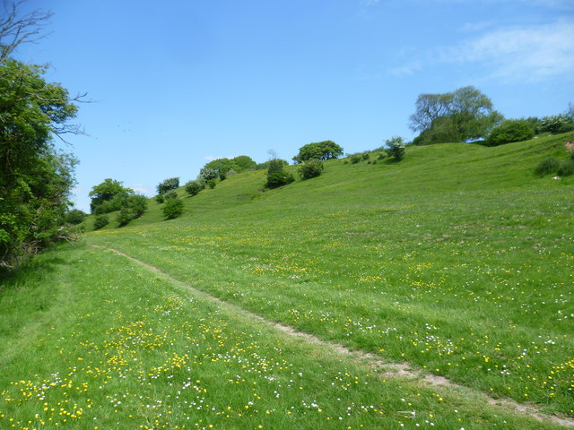
The Elham Valley Way on Hall Downs
The Elham Valley Way which connects Hythe to Canterbury follows the eastern slope of the valley here between North Elham and Wingmore. It descends to the road at Wingmore ahead before heading up the eastern side of the valley again. Full details of the Elham Valley Way can be seen at Link (Archive Link )
This was a lovely late spring day.
This was a lovely late spring day.
 Map © Crown Copyright")
TIP: Click the map for more Large scale mapping
- Grid Square
- TR1845, 50 images (more nearby 🔍)
- Photographer
- Marathon (more nearby)
- Date Taken
- Wednesday, 27 May, 2015 (more nearby)
- Submitted
- Thursday, 28 May, 2015
- Subject Location
-
OSGB36:
 TR 1869 4568 [10m precision]
WGS84: 51:10.1121N 1:7.6078E - Camera Location
-
OSGB36: TR 1870 4560
- View Direction
- North-northwest (about 337 degrees)