2015
TM0980 : Bellrope Lane, Roydon
taken 9 years ago, near to Roydon, Norfolk, England
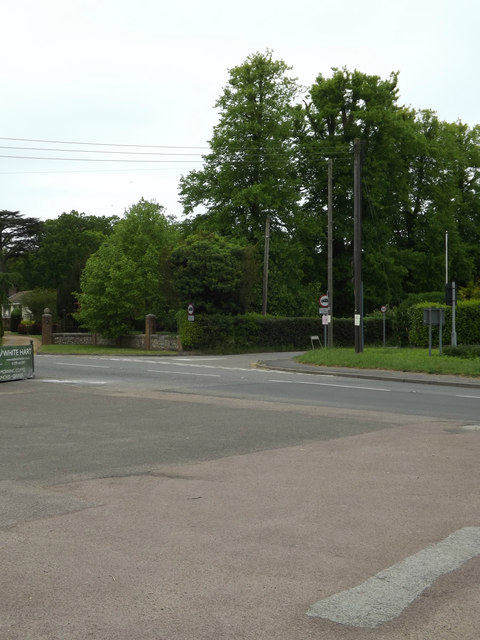
Bellrope Lane, Roydon
At the junction with the A1066 High Road
 Map © Crown Copyright")
TIP: Click the map for more Large scale mapping
- Grid Square
- TM0980, 144 images (more nearby 🔍)
- Photographer
- Geographer (more nearby)
- Date Taken
- Saturday, 23 May, 2015 (more nearby)
- Submitted
- Saturday, 30 May, 2015
- Subject Location
-
OSGB36:
 TM 09594 80440 [1m precision]
WGS84: 52:22.9120N 1:4.6913E - Camera Location
-
OSGB36: TM 09612 80413
- View Direction
- North-northwest (about 337 degrees)