2015
NM0449 : Sgeir Bharrach
taken 9 years ago, near to Vaul, Tiree, Argyll And Bute, Scotland
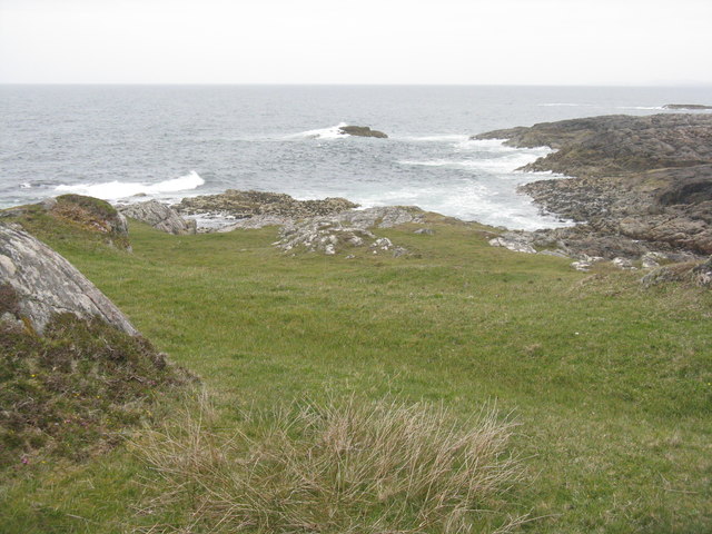
Sgeir Bharrach
The north Tiree coast, seen from the broch at Vaul.
Dùn Mòr Broch
The broch at Vaul/Bhalla was built around 60AD as a refuge. It is thought that those who built it and lived in it came from southern England. It was ca 7.5-9m high with a double wall 3-4m thick. Stairs in the cavity of the wall lead to 2-3 galleries at different levels. There was one entrance, on the east side, controlled from a guard's cell on the right of the entrance passage. NM0449 : Dùn Mòr/Dun Mor information Link
 Map © Crown Copyright")
TIP: Click the map for more Large scale mapping
- Grid Square
- NM0449, 64 images (more nearby 🔍)
- Photographer
- M J Richardson (more nearby)
- Date Taken
- Friday, 22 May, 2015 (more nearby)
- Submitted
- Monday, 1 June, 2015
- Subject Location
-
OSGB36:
 NM 0436 4931 [10m precision]
WGS84: 56:32.5472N 6:48.6904W - Camera Location
-
OSGB36: NM 0427 4924
- View Direction
- Northeast (about 45 degrees)