2015
ST7449 : Former drinking fountain, Great Elm
taken 9 years ago, near to Great Elm, Somerset, England
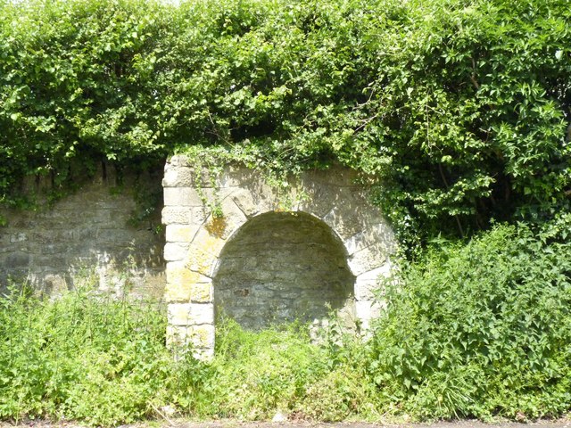
Former drinking fountain, Great Elm
 Map © Crown Copyright")
TIP: Click the map for more Large scale mapping
- Grid Square
- ST7449, 69 images (more nearby 🔍)
- Photographer
- Becky Williamson (more nearby)
- Date Taken
- Monday, 8 June, 2015 (more nearby)
- Submitted
- Monday, 8 June, 2015
- Subject Location
-
OSGB36:
 ST 7478 4925 [10m precision]
WGS84: 51:14.5118N 2:21.7602W - Camera Location
-
OSGB36: ST 74783 49245
- View Direction
- North-northwest (about 337 degrees)