2015
TL5402 : Chipping Ongar: Glebe Road
taken 9 years ago, near to Chipping Ongar, Essex, England
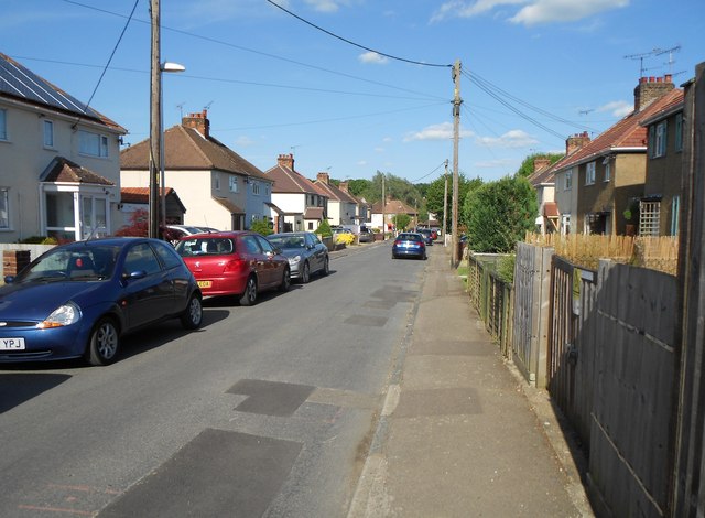
Chipping Ongar: Glebe Road
This housing estate is shown on 1930s Ordnance Survey maps so it was definitely started before the Second World War, although not all the houses were built then. The only vehicle access to the estate is via Fairfield Road.
This road on the estate forms part of the formal route of the long distance footpath, the Three Forests Way, the forests being Epping, Hainault and Hatfield.
This road on the estate forms part of the formal route of the long distance footpath, the Three Forests Way, the forests being Epping, Hainault and Hatfield.
 Map © Crown Copyright")
TIP: Click the map for more Large scale mapping
- Grid Square
- TL5402, 21 images (more nearby 🔍)
- Photographer
- Nigel Cox (more nearby)
- Date Taken
- Sunday, 7 June, 2015 (more nearby)
- Submitted
- Saturday, 13 June, 2015
- Subject Location
-
OSGB36:
 TL 5497 0287 [10m precision]
WGS84: 51:42.1906N 0:14.4744E - Camera Location
-
OSGB36: TL 5489 0285
- View Direction
- East-northeast (about 67 degrees)