2007
TG3400 : The Edge of Miller's Fir from A146
taken 17 years ago, near to Sisland, Norfolk, England
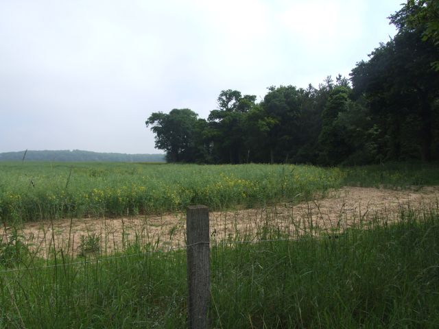
The Edge of Miller's Fir from A146
In the distance is the larger woodland of The Thicks.
 Map © Crown Copyright")
TIP: Click the map for more Large scale mapping
- Grid Square
- TG3400, 21 images (more nearby 🔍)
- Photographer
- Ian Robertson (more nearby)
- Date Taken
- Saturday, 2 June, 2007 (more nearby)
- Submitted
- Saturday, 2 June, 2007
- Subject Location
-
OSGB36:
 TG 341 001 [100m precision]
WGS84: 52:32.9004N 1:27.1533E - Camera Location
-
OSGB36: TG 341 000
- View Direction
- Northeast (about 45 degrees)