2015
SJ8440 : Hanchurch Hills: rutted track
taken 9 years ago, near to Hanchurch, Staffordshire, England
This is 1 of 3 images, with title starting with Hanchurch in this square
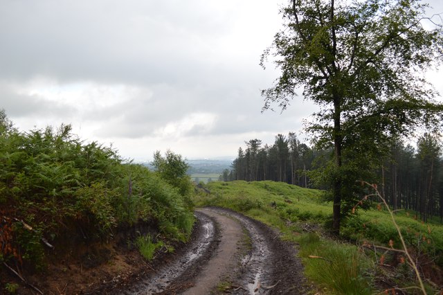
Hanchurch Hills: rutted track
This is Forestry Commission country, and the track is heavily used by their vehicles. It is a public footpath, Swynnerton 50.
 Map © Crown Copyright")
TIP: Click the map for more Large scale mapping
- Grid Square
- SJ8440, 13 images (more nearby 🔍)
- Photographer
- Jonathan Hutchins (more nearby)
- Date Taken
- Saturday, 20 June, 2015 (more nearby)
- Submitted
- Tuesday, 23 June, 2015
- Subject Location
-
OSGB36:
 SJ 8403 4006 [10m precision]
WGS84: 52:57.4602N 2:14.3504W - Camera Location
-
OSGB36: SJ 8402 4006
- View Direction
- North-northeast (about 22 degrees)