2015
NT9452 : Coroner's Meadow at Paxton Toll
taken 9 years ago, near to Paxton, Scottish Borders, Scotland
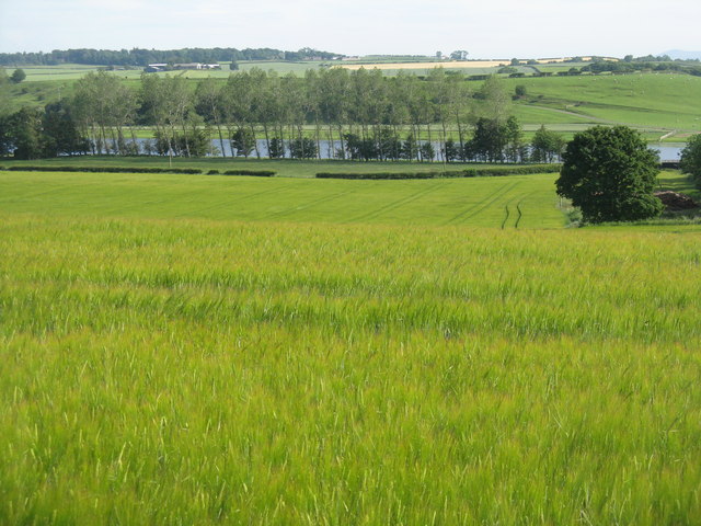
Coroner's Meadow at Paxton Toll
I wonder why it has that name? - it is now a barley field, going down to the River Tweed just east of Paxton.
River Tweed
The River Tweed is 97 miles long and flows generally west to east through the Scottish borders. It rises at Tweedsmuir and passes through small towns like Peebles, Selkirk, Melrose, Galashields and Kelso, before entering the North Sea at Berwick on Tweed.
 Map © Crown Copyright")
TIP: Click the map for more Large scale mapping
- Grid Square
- NT9452, 59 images (more nearby 🔍)
- Photographer
- M J Richardson (more nearby)
- Date Taken
- Friday, 3 July, 2015 (more nearby)
- Submitted
- Saturday, 4 July, 2015
- Subject Location
-
OSGB36:
 NT 9476 5232 [10m precision]
WGS84: 55:45.8519N 2:5.1045W - Camera Location
-
OSGB36: NT 9475 5246
- View Direction
- SOUTH (about 180 degrees)