2015
SN5781 : Cardigan Bay & The Irish Sea
taken 9 years ago, near to Aberystwyth, Ceredigion/Sir Ceredigion, Wales
This is 1 of 2 images, with title Cardigan Bay & The Irish Sea in this square
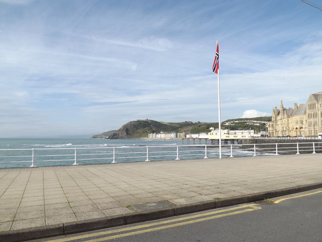
Cardigan Bay & The Irish Sea
Taken from New Promenade
 Map © Crown Copyright")
TIP: Click the map for more Large scale mapping
- Grid Square
- SN5781, 334 images (more nearby 🔍)
- Photographer
- Geographer (more nearby)
- Date Taken
- Saturday, 27 June, 2015 (more nearby)
- Submitted
- Sunday, 5 July, 2015
- Subject Location
-
OSGB36:
 SN 57977 81617 [1m precision]
WGS84: 52:24.8436N 4:5.3751W - Camera Location
-
OSGB36: SN 57977 81617
- View Direction
- North-northeast (about 22 degrees)