2015
SS3887 : Outer Head
taken 11 years ago, 3 km from Rhossili, Swansea/Abertawe, Wales
This is 1 of 4 images, with title Outer Head in this square
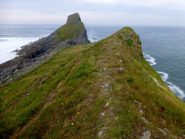
Outer Head
A view along the path towards Outer Head on Worms Head/Penrhyn-Gwyr which is reached by a short scramble.
Name: Outer Head
Hill number: 15913
Height: 56m / 184ft
Parent (Ma/M): none
Section: 32B: Carmarthen to Vale of Neath
County/UA: Swansea (UA)
Maritime Area: South Wales - Carmarthen Bay
Island: Worms Head
Class: Tump (0-99m), SIB
Grid ref: SS384877 (est)
Drop: 56m
Col: Sea
Name: Outer Head
Hill number: 15913
Height: 56m / 184ft
Parent (Ma/M): none
Section: 32B: Carmarthen to Vale of Neath
County/UA: Swansea (UA)
Maritime Area: South Wales - Carmarthen Bay
Island: Worms Head
Class: Tump (0-99m), SIB
Grid ref: SS384877 (est)
Drop: 56m
Col: Sea


TIP: Click the map for more Large scale mapping
- Grid Square
- SS3887, 80 images (more nearby 🔍)
- Photographer
- Rude Health (more nearby)
- Date Taken
- Wednesday, 1 July, 2015 (more nearby)
- Submitted
- Monday, 6 July, 2015
- Subject Location
-
OSGB36:
 SS 3877 8770
[10m precision]
WGS84: 51:33.9038N 4:19.6534W - Camera Location
-
OSGB36:
SS 3879 8770
- View Direction
- WEST (about 270 degrees)


