2015

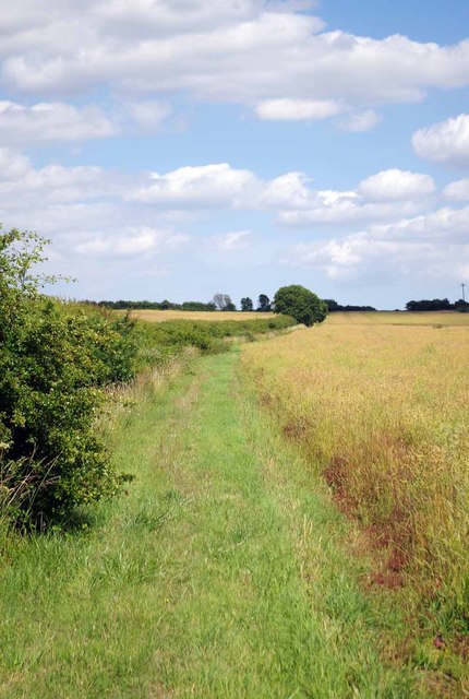
TL7500 : Approaching Hill Farm

taken 9 years ago, near to East Hanningfield, Essex, England

Approaching Hill Farm
Part of the St Peter's Way long distance path LinkExternal link

Creative Commons Licence [Some Rights Reserved]   © Copyright Glyn Baker and licensed for reuse under this Creative Commons Licence.
Geographical Context: Paths Boundary, Barrier Farm, Fishery, Market Gardening Footpath: St Peters Way Category: Footpath other tags: Oilseed Rape Hedgerow Click a tag, to view other nearby images.
1:50,000 Modern Day Landranger(TM) Map © Crown Copyright
+
+
1:50,000 Modern Day Landranger(TM) Map © Crown Copyright
TIP: Click the map for more Large scale mapping
Grid Square
TL7500, 13 images   (more nearby 🔍)
Photographer
Glyn Baker   (more nearby)
Date Taken
Thursday, 9 July, 2015   (more nearby)
Submitted
Sunday, 12 July, 2015
Subject Location
OSGB36: geotagged! TL 7522 0080 [10m precision]
WGS84: 51:40.7179N 0:31.9774E
Camera Location
OSGB36: geotagged! TL 7500 0075
View Direction
East-northeast (about 67 degrees)
Clickable map
+
NW N NE
W Go E
SW S SE
Image classification(about): Geograph
This page has been viewed about 13 times
You are not logged in login | register