2015
NT1639 : Northern corner of Penveny plantation
taken 9 years ago, near to Hallyne, Scottish Borders, Scotland
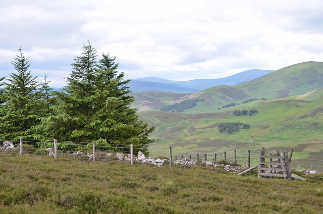
Northern corner of Penveny plantation
The forest boundary at the col between Riding Hill and Torbank Hill.
 Map © Crown Copyright")
TIP: Click the map for more Large scale mapping
- Grid Square
- NT1639, 15 images (more nearby 🔍)
- Photographer
- Jim Barton (more nearby)
- Date Taken
- Saturday, 11 July, 2015 (more nearby)
- Submitted
- Monday, 13 July, 2015
- Subject Location
-
OSGB36:
 NT 1674 3994 [10m precision]
WGS84: 55:38.7505N 3:19.4686W - Camera Location
-
OSGB36: NT 1676 3996
- View Direction
- Southwest (about 225 degrees)