2015
TQ8751 : M20, coastbound
taken 9 years ago, near to Platt's Heath, Kent, England
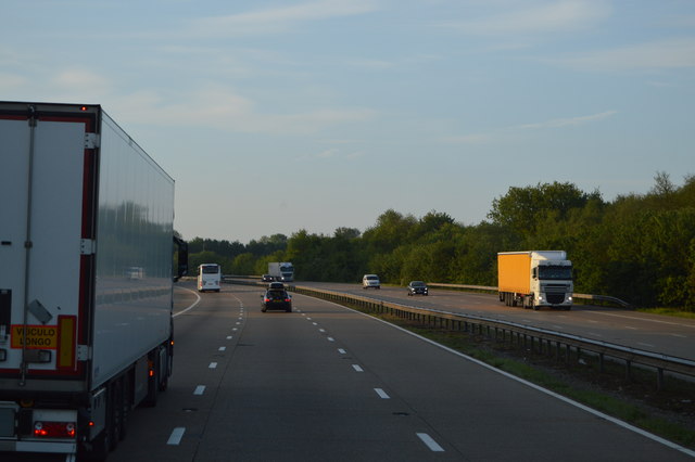
M20, coastbound
The M20 is a 51 mile motorway running between the M25 motorway near Swanley and Folkestone in Kent. It was constructed from 1960. It is a key route for lorries connecting to mainland Europe via the Channel Tunnel and Ferries.
See other images of M20 Motorway
See other images of M20 Motorway
 Map © Crown Copyright")
TIP: Click the map for more Large scale mapping
- Grid Square
- TQ8751, 21 images (more nearby 🔍)
- Photographer
- N Chadwick (more nearby)
- Date Taken
- Friday, 22 May, 2015 (more nearby)
- Submitted
- Friday, 17 July, 2015
- Subject Location
-
OSGB36:
 TQ 8782 5119 [10m precision]
WGS84: 51:13.7393N 0:41.3202E - Camera Location
-
OSGB36: TQ 8778 5124
- View Direction
- Southeast (about 135 degrees)