2015
NZ2494 : Grange Wood
taken 9 years ago, near to Widdrington Station, Northumberland, England
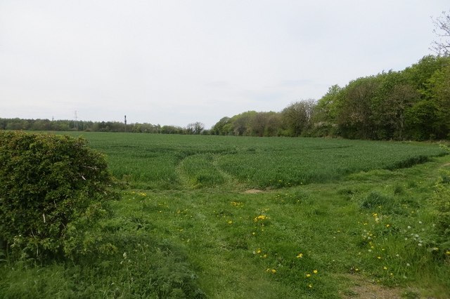
Grange Wood
The edge of Grange Wood, a long established woodland near Widdrington.
 Map © Crown Copyright")
TIP: Click the map for more Large scale mapping
- Grid Square
- NZ2494, 32 images (more nearby 🔍)
- Photographer
- Richard Webb (more nearby)
- Date Taken
- Friday, 15 May, 2015 (more nearby)
- Submitted
- Sunday, 19 July, 2015
- Subject Location
-
OSGB36:
 NZ 2470 9462 [10m precision]
WGS84: 55:14.7095N 1:36.7833W - Camera Location
-
OSGB36: NZ 2471 9455
- View Direction
- North-northwest (about 337 degrees)