2015
SS0097 : Eastern boundary of East Trewent
taken 9 years ago, near to Freshwater East, Pembrokeshire/Sir Benfro, Wales
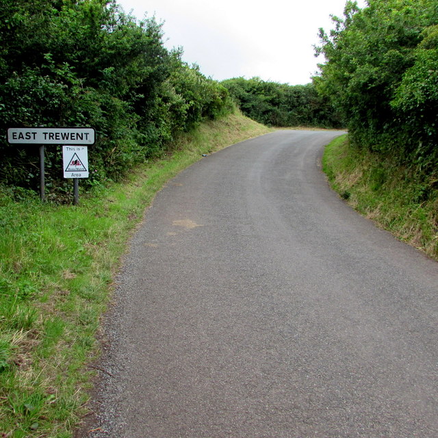
Eastern boundary of East Trewent
Alongside Stackpole Road. East Trewent is a hamlet in south Pembrokeshire.
 Map © Crown Copyright")
TIP: Click the map for more Large scale mapping
- Grid Square
- SS0097, 21 images (more nearby 🔍)
- Photographer
- Jaggery (more nearby)
- Date Taken
- Tuesday, 21 July, 2015 (more nearby)
- Submitted
- Friday, 24 July, 2015
- Subject Location
-
OSGB36:
 SS 0097 9740 [10m precision]
WGS84: 51:38.4056N 4:52.6655W - Camera Location
-
OSGB36: SS 0098 9741
- View Direction
- South-southwest (about 202 degrees)