2015
J6272 : The Whitechurch Road, Ganaway, Ballywalter (July 2015)
taken 9 years ago, 4 km NNW of Ballywalter, Co Down, Northern Ireland
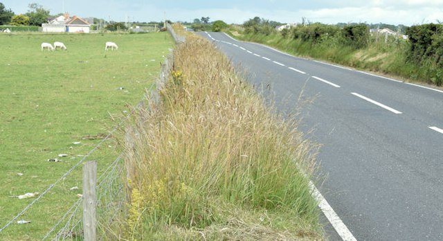
The Whitechurch Road, Ganaway, Ballywalter (July 2015)
The Whitechurch Road, part of the coast road from Donaghadee to Portavogie and Cloughey, looking towards Millisle, at the end of the Ganaway Road. The Irish Sea is just east of the fields on the right.
Loading map... (JavaScript required)
- Grid Square
- J6272, 6 images (more nearby 🔍)
- Photographer
- Albert Bridge (more nearby)
- Date Taken
- Friday, 24 July, 2015 (more nearby)
- Submitted
- Friday, 24 July, 2015
- Subject Location
-
Irish:
 J 620 725 [100m precision]
WGS84: 54:34.5144N 5:29.6550W - Camera Location
-
Irish: J 620 725
- View Direction
- North-northwest (about 337 degrees)