2015
SE3750 : Drainage channel by the Harland Way
taken 9 years ago, near to Spofforth, North Yorkshire, England
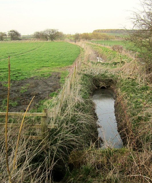
Drainage channel by the Harland Way
Leading in about 120 metres into the River Crimple.
 Map © Crown Copyright")
TIP: Click the map for more Large scale mapping
- Grid Square
- SE3750, 67 images (more nearby 🔍)
- Photographer
- Derek Harper (more nearby)
- Date Taken
- Monday, 6 April, 2015 (more nearby)
- Submitted
- Saturday, 25 July, 2015
- Subject Location
-
OSGB36:
 SE 375 503 [100m precision]
WGS84: 53:56.8471N 1:25.8081W - Camera Location
-
OSGB36: SE 3753 5033
- View Direction
- North-northeast (about 22 degrees)