2015
SX6976 : Broadaford
taken 9 years ago, near to Cator Court, Devon, England
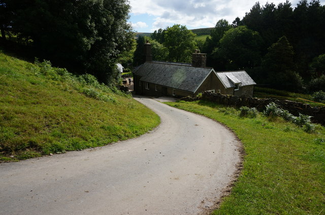
Broadaford
Looking back down the hill to the farm buildings.
 Map © Crown Copyright")
TIP: Click the map for more Large scale mapping
- Grid Square
- SX6976, 20 images (more nearby 🔍)
- Photographer
- jeff collins (more nearby)
- Date Taken
- Wednesday, 29 July, 2015 (more nearby)
- Submitted
- Saturday, 1 August, 2015
- Subject Location
-
OSGB36:
 SX 6929 7622 [10m precision]
WGS84: 50:34.2637N 3:50.8304W - Camera Location
-
OSGB36: SX 6925 7621
- View Direction
- East-northeast (about 67 degrees)