2015
SE0322 : Thunderton Lane at Sowerby Bridge FP114 (Link A)
taken 9 years ago, near to Sowerby, Calderdale, England
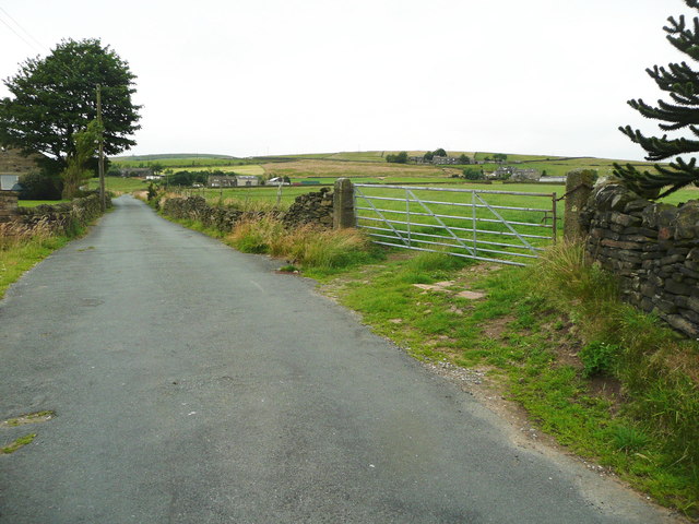
Thunderton Lane at Sowerby Bridge FP114 (Link A)
 Map © Crown Copyright")
TIP: Click the map for more Large scale mapping
- Grid Square
- SE0322, 148 images (more nearby 🔍)
- Photographer
- Humphrey Bolton (more nearby)
- Date Taken
- Monday, 20 July, 2015 (more nearby)
- Submitted
- Saturday, 1 August, 2015
- Subject Location
-
OSGB36:
 SE 0328 2258 [10m precision]
WGS84: 53:41.9788N 1:57.1078W - Camera Location
-
OSGB36: SE 0329 2257
- View Direction
- West-northwest (about 292 degrees)