2015
SH5637 : Borth-y-Gest
taken 9 years ago, near to Borth-y-Gest, Gwynedd, Wales
This is 1 of 9 images, with title Borth-y-Gest in this square
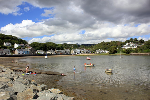
Borth-y-Gest
Borth-y-Gest lies 1 mile (1.6 km) to the south of Porthmadog. Ships were built here before Porthmadog was established. This was also the starting point of a major crossing over the wide and dangerous Glaslyn estuary, and locals earned money by guiding travellers across the treacherous sands of Traeth Mawr to Harlech.
 Map © Crown Copyright")
TIP: Click the map for more Large scale mapping
- Grid Square
- SH5637, 147 images (more nearby 🔍)
- Photographer
- Jeff Buck (more nearby)
- Date Taken
- Thursday, 6 August, 2015 (more nearby)
- Submitted
- Monday, 10 August, 2015
- Subject Location
-
OSGB36:
 SH 5652 3750 [10m precision]
WGS84: 52:54.9423N 4:8.1200W - Camera Location
-
OSGB36: SH 5653 3746
- View Direction
- NORTH (about 0 degrees)