2015
SE0386 : Hut circle, Burton Moor
taken 9 years ago, near to West Burton, North Yorkshire, England
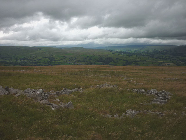
Hut circle, Burton Moor
There are numerous circles and enclosures visible here on a high shelf well above valley level. This was probably a summer settlement only when the inhabitants would be grazing their animals on the uplands Link (Archive Link ) This system of animal husbandry was very common in pre-industrial societies.
 Map © Crown Copyright")
TIP: Click the map for more Large scale mapping
- Grid Square
- SE0386, 20 images (more nearby 🔍)
- Photographer
- Karl and Ali (more nearby)
- Date Taken
- Sunday, 9 August, 2015 (more nearby)
- Submitted
- Monday, 17 August, 2015
- Subject Location
-
OSGB36:
 SE 0311 8603 [10m precision]
WGS84: 54:16.1949N 1:57.2249W - Camera Location
-
OSGB36: SE 0312 8602
- View Direction
- West-northwest (about 292 degrees)