2015
SS6239 : Lane to Button Bridge
taken 9 years ago, near to Loxhore, Devon, England
This is 1 of 2 images, with title Lane to Button Bridge in this square
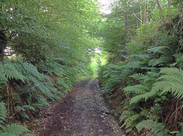
Lane to Button Bridge
The unsealed and sunken public road to Button Bridge and Bratton Fleming behind Smythapark Farm.
 Map © Crown Copyright")
TIP: Click the map for more Large scale mapping
- Grid Square
- SS6239, 16 images (more nearby 🔍)
- Photographer
- Hugh Craddock (more nearby)
- Date Taken
- Wednesday, 29 July, 2015 (more nearby)
- Submitted
- Monday, 17 August, 2015
- Subject Location
-
OSGB36:
 SS 6270 3935 [10m precision]
WGS84: 51:8.2148N 3:57.8323W - Camera Location
-
OSGB36: SS 6267 3935
- View Direction
- EAST (about 90 degrees)