2015
SM7325 : Track to Trefeiddan Farm
taken 9 years ago, near to Rhosson, Pembrokeshire/Sir Benfro, Wales
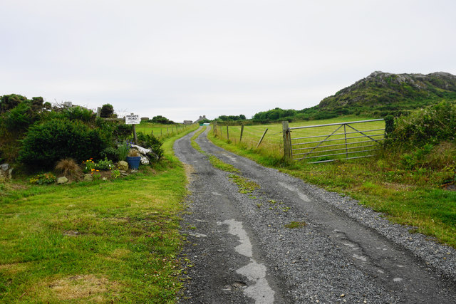
Track to Trefeiddan Farm
The private road marking the end of access land.
 Map © Crown Copyright")
TIP: Click the map for more Large scale mapping
- Grid Square
- SM7325, 64 images (more nearby 🔍)
- Photographer
- Bill Boaden (more nearby)
- Date Taken
- Thursday, 16 July, 2015 (more nearby)
- Submitted
- Monday, 17 August, 2015
- Subject Location
-
OSGB36:
 SM 7306 2527 [10m precision]
WGS84: 51:52.7815N 5:17.9183W - Camera Location
-
OSGB36: SM 7306 2531
- View Direction
- SOUTH (about 180 degrees)