TF1807 : Deeping Lakes: small lake
taken 9 years ago, near to Peakirk, Peterborough, England
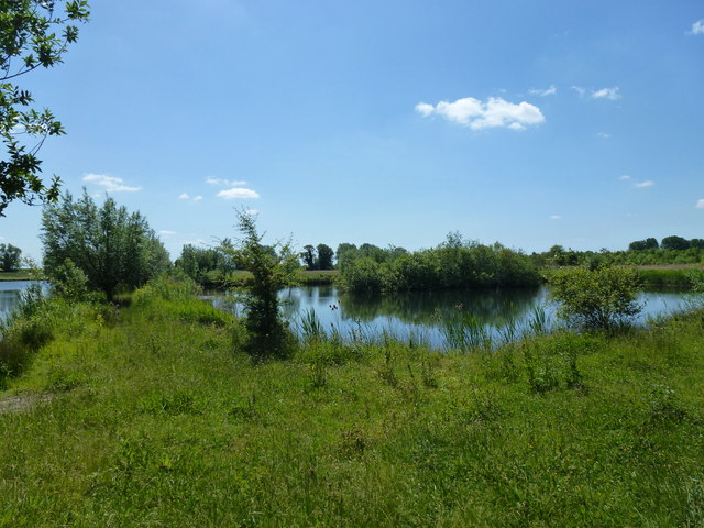
Incorporating an older flooded quarry from before 1900, most of this site is the result of gravel workings in the late 1980s and 1990s. That later development was permitted as long as an end use plan was in place, and that end use plan was the building of a reserve owned by the Lincolnshire Trust for Nature Conservation.
Established by professional conservators, the area is now maintained by a band of enthusiastic volunteers, including many of the previous staff, who scrupulously manage the plants that grow here to the benefit of the various birds that use the site.
Quarrying ended in 1994, and the planting began in 1997. The site was declared open in 2004 (Link) More details and visiting arrangements can be found at the trust web page Link
The site is an SSSI under the name 'Deeping Gravel Pits' - see Link
 Map © Crown Copyright")
- Grid Square
- TF1807, 41 images (more nearby 🔍)
- Photographer
- Bob Harvey (more nearby)
- Date Taken
- Sunday, 7 June, 2015 (more nearby)
- Submitted
- Friday, 28 August, 2015
- Subject Location
-
OSGB36:
 TF 1810 0794 [10m precision]
WGS84: 52:39.3800N 0:15.3276W - Camera Location
-
OSGB36: TF 1806 0799
- View Direction
- Southeast (about 135 degrees)