2015
SP2537 : Farmland track
taken 9 years ago, near to Burmington, Warwickshire, England
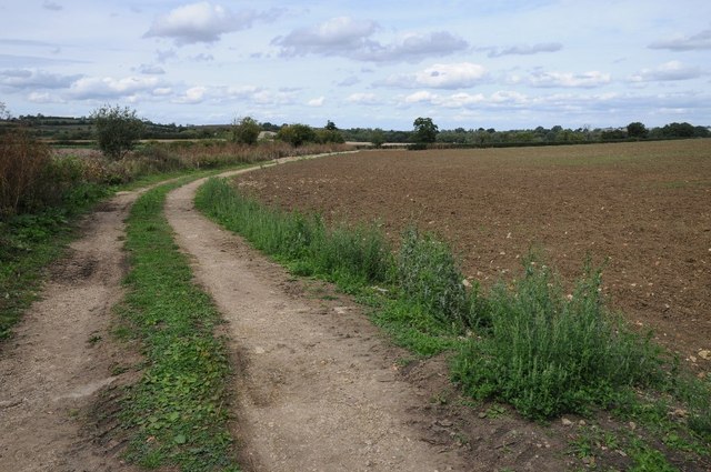
Farmland track
This farmland track near Mudhall Barn gives access to arable land which is just inside the county of Gloucestershire.
 Map © Crown Copyright")
TIP: Click the map for more Large scale mapping
- Grid Square
- SP2537, 14 images (more nearby 🔍)
- Photographer
- Philip Halling (more nearby)
- Date Taken
- Saturday, 29 August, 2015 (more nearby)
- Submitted
- Tuesday, 8 September, 2015
- Subject Location
-
OSGB36:
 SP 2571 3704 [10m precision]
WGS84: 52:1.8707N 1:37.5994W - Camera Location
-
OSGB36: SP 2571 3700
- View Direction
- NORTH (about 0 degrees)