2015
ST5616 : Victoria Road, Yeovil
taken 9 years ago, near to Yeovil, Somerset, England
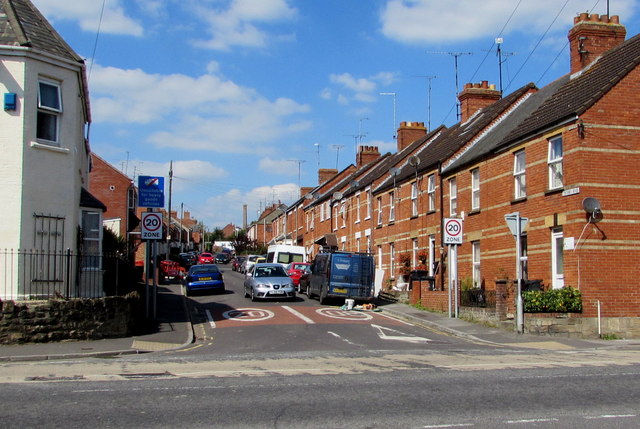
Victoria Road, Yeovil
Viewed across Lyde Road from the corner of Camborne Grove.
A 20mph zone is in force on the approach to a school.
The blue sign on the left shows that Victoria Road is unsuitable for heavy goods vehicles.
A 20mph zone is in force on the approach to a school.
The blue sign on the left shows that Victoria Road is unsuitable for heavy goods vehicles.
 Map © Crown Copyright")
TIP: Click the map for more Large scale mapping
- Grid Square
- ST5616, 116 images (more nearby 🔍)
- Photographer
- Jaggery (more nearby)
- Date Taken
- Thursday, 10 September, 2015 (more nearby)
- Submitted
- Friday, 11 September, 2015
- Subject Location
-
OSGB36:
 ST 5689 1654 [10m precision]
WGS84: 50:56.8005N 2:36.9013W - Camera Location
-
OSGB36: ST 5693 1648
- View Direction
- North-northwest (about 337 degrees)