2015
SX2761 : Lay-by and A38 near Treviddo
taken 9 years ago, near to Horningtops, Cornwall, England
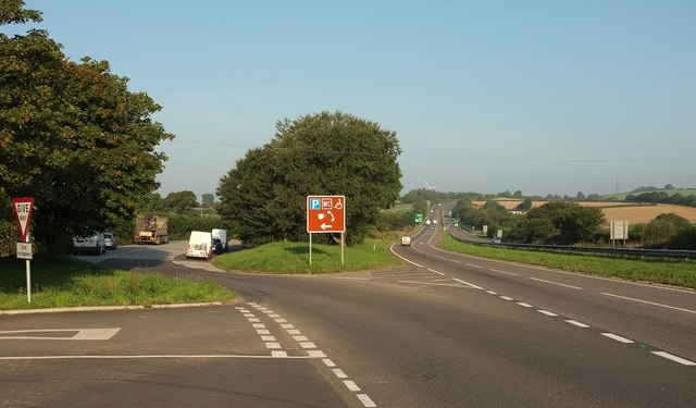
Lay-by and A38 near Treviddo
Placing SX2761 : A38 near Treviddo in more context, with the lay-by shown in SX2761 : Lay-by and rest area. In the foreground is a lane to Horningtops.
 Map © Crown Copyright")
TIP: Click the map for more Large scale mapping
- Grid Square
- SX2761, 29 images (more nearby 🔍)
- Photographer
- Derek Harper (more nearby)
- Date Taken
- Thursday, 10 September, 2015 (more nearby)
- Submitted
- Saturday, 12 September, 2015
- Subject Location
-
OSGB36:
 SX 2796 6133 [10m precision]
WGS84: 50:25.5936N 4:25.4077W - Camera Location
-
OSGB36: SX 2799 6131
- View Direction
- West-northwest (about 292 degrees)