2015
TF8343 : River Burn outfall
taken 9 years ago, near to Burnham Norton, Norfolk, England
This is 1 of 4 images, with title starting with River Burn in this square
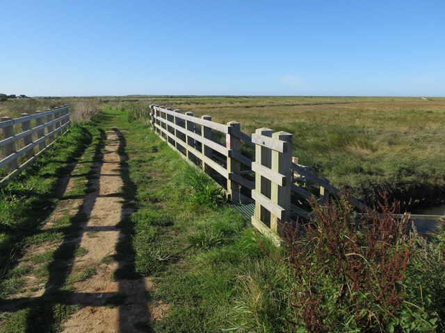
River Burn outfall
 Map © Crown Copyright")
TIP: Click the map for more Large scale mapping
- Grid Square
- TF8343, 101 images (more nearby 🔍)
- Photographer
- Hugh Venables (more nearby)
- Date Taken
- Thursday, 10 September, 2015 (more nearby)
- Submitted
- Friday, 25 September, 2015
- Subject Location
-
OSGB36:
 TF 8347 4391 [10m precision]
WGS84: 52:57.6701N 0:43.8096E - Camera Location
-
OSGB36: TF 83485 43903
- View Direction
- Northwest (about 315 degrees)