2015
ST7064 : Road to Clays End Farm
taken 9 years ago, near to Newton st Loe, Bath And North East Somerset, England
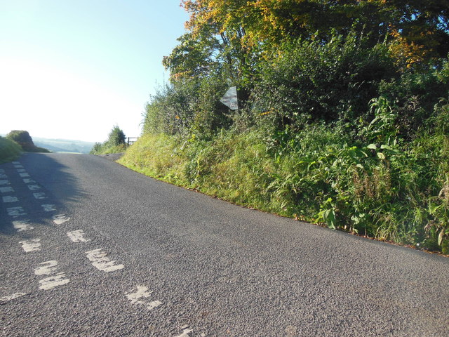
Road to Clays End Farm
The name is variously spelt Clays End and Claysend. The road is on the route of the Circuit of Bath Walk and the photograph was taken on the 2015 walk.
 Map © Crown Copyright")
TIP: Click the map for more Large scale mapping
- Grid Square
- ST7064, 39 images (more nearby 🔍)
- Photographer
- HelenK (more nearby)
- Date Taken
- Sunday, 27 September, 2015 (more nearby)
- Submitted
- Sunday, 27 September, 2015
- Subject Location
-
OSGB36:
 ST 7091 6430 [10m precision]
WGS84: 51:22.6201N 2:25.1604W - Camera Location
-
OSGB36: ST 7089 6433
- View Direction
- South-southeast (about 157 degrees)