2015
NU2403 : Cultivated arable field
taken 9 years ago, near to Gloster Hill, Northumberland, England
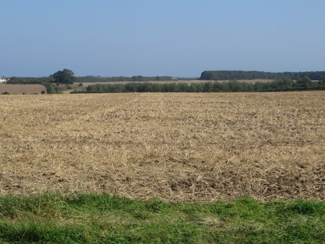
Cultivated arable field
An arable field between Togston and Warkworth which has been cultivated after having a cereal crop harvested from the land.
 Map © Crown Copyright")
TIP: Click the map for more Large scale mapping
- Grid Square
- NU2403, 18 images (more nearby 🔍)
- Photographer
- Graham Robson (more nearby)
- Date Taken
- Friday, 11 September, 2015 (more nearby)
- Submitted
- Thursday, 1 October, 2015
- Subject Location
-
OSGB36:
 NU 2426 0371 [10m precision]
WGS84: 55:19.6115N 1:37.1517W - Camera Location
-
OSGB36: NU 24315 03703
- View Direction
- West-northwest (about 292 degrees)