2015
NZ2145 : Path to Stobbilee Farm
taken 9 years ago, near to Langley Park, County Durham, England
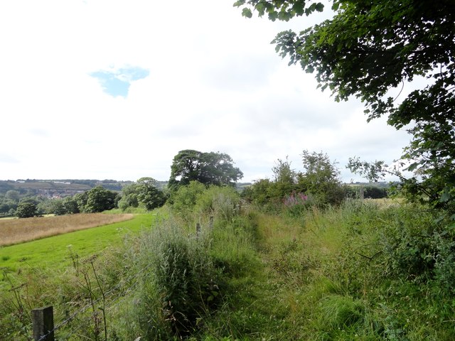
Path to Stobbilee Farm
Footpath leading south from the A691, Durham to Consett road, to Stobbilee Farm at Langley Park.
 Map © Crown Copyright")
TIP: Click the map for more Large scale mapping
- Grid Square
- NZ2145, 43 images (more nearby 🔍)
- Photographer
- Robert Graham (more nearby)
- Date Taken
- Wednesday, 5 August, 2015 (more nearby)
- Submitted
- Wednesday, 7 October, 2015
- Subject Location
-
OSGB36:
 NZ 2143 4567 [10m precision]
WGS84: 54:48.3268N 1:40.0882W - Camera Location
-
OSGB36: NZ 2143 4577
- View Direction
- SOUTH (about 180 degrees)