2015
SJ7949 : Halmer End: bridge over former railway line
taken 9 years ago, near to Halmer End, Staffordshire, England
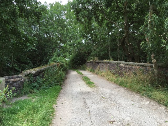
Halmer End: bridge over former railway line
This is also the lane to Hollins Farm which lies immediately beyond the bridge. This thoroughfare is a public footpath, designated Audley FP 88.
The Audley branch railway
The 'Audley branch', between Alsager Junction and Keele, closed to passenger traffic in April 1931, and to all traffic in January 1963. The section between Alsager and Merelake has been designated the 'Merelake Way', and is managed by Cheshire East Council. The stretch between Bignall End and Halmer End is a popular walking and dog-exercising route, and is always referred to locally as 'the lines'.
An account of the line's history is at Link.
 Map © Crown Copyright")
TIP: Click the map for more Large scale mapping
- Grid Square
- SJ7949, 110 images (more nearby 🔍)
- Photographer
- Jonathan Hutchins (more nearby)
- Date Taken
- Tuesday, 4 August, 2015 (more nearby)
- Submitted
- Friday, 9 October, 2015
- Subject Location
-
OSGB36:
 SJ 7969 4939 [10m precision]
WGS84: 53:2.4834N 2:18.2621W - Camera Location
-
OSGB36: SJ 7970 4937
- View Direction
- Northwest (about 315 degrees)