2007
TQ1752 : Up The Hill Backwards, Box Hill
taken 17 years ago, near to Westhumble, Surrey, England
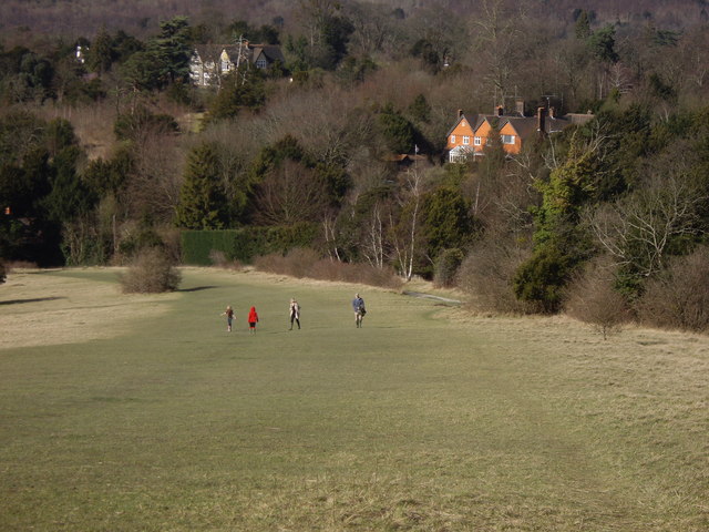
Up The Hill Backwards, Box Hill
It's a steep one! So called after the Box Trees that flank its banks!
 Map © Crown Copyright")
TIP: Click the map for more Large scale mapping
- Grid Square
- TQ1752, 112 images (more nearby 🔍)
- Photographer
- Tim Hallam (more nearby)
- Date Taken
- Saturday, 3 March, 2007 (more nearby)
- Submitted
- Sunday, 17 June, 2007
- Subject Location
-
OSGB36:
 TQ 173 521 [100m precision]
WGS84: 51:15.3605N 0:19.2270W - Camera Location
-
OSGB36: TQ 174 520
- View Direction
- Northwest (about 315 degrees)