2015
NY4449 : House on the A6 near Scalesceugh
taken 11 years ago, near to Wreay, Cumbria, England
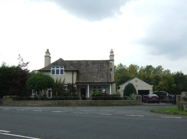
House on the A6 near Scalesceugh

A6 Road (provided by N Chadwick)
The A6 is one of the main historic north south roads in England. At 299 miles long it is the fourth longest road in the country. It currently runs from Luton in Bedfordshire to Carlisle in Cumbria, although it formerly started at a junction with the A1 at Barnet.
Wikipedia: Link
See also Link


TIP: Click the map for more Large scale mapping
- Grid Square
- NY4449, 14 images (more nearby 🔍)
- Photographer
- JThomas (more nearby)
- Date Taken
- Saturday, 10 October, 2015 (more nearby)
- Submitted
- Monday, 12 October, 2015
- Subject Location
-
OSGB36:
 NY 4495 4944
[10m precision]
WGS84: 54:50.2045N 2:51.5168W - Camera Location
-
OSGB36:
NY 44988 49482
- View Direction
- Southwest (about 225 degrees)


