2015
SD3892 : Windermere
taken 9 years ago, 3 km from Storrs, Cumbria, England
This is 1 of 4 images, with title Windermere in this square
Windermere
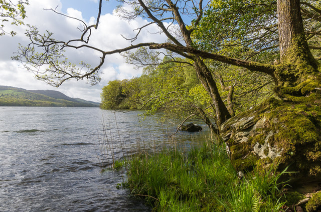
The western shoreline of Windermere south of Low Cunsey.
 Map © Crown Copyright")
TIP: Click the map for more Large scale mapping
- Grid Square
- SD3892, 66 images (more nearby 🔍)
- Photographer
- Ian Capper (more nearby)
- Date Taken
- Tuesday, 12 May, 2015 (more nearby)
- Submitted
- Wednesday, 14 October, 2015
- Subject Location
-
OSGB36:
 SD 380 924 [100m precision]
WGS84: 54:19.4572N 2:57.1963W - Camera Location
-
OSGB36: SD 381 926
- View Direction
- SOUTH (about 180 degrees)