2015
C6518 : Gravel Works in the townland of Moys
taken 9 years ago, 4 km SSW of Limavady, Co Londonderry, Northern Ireland
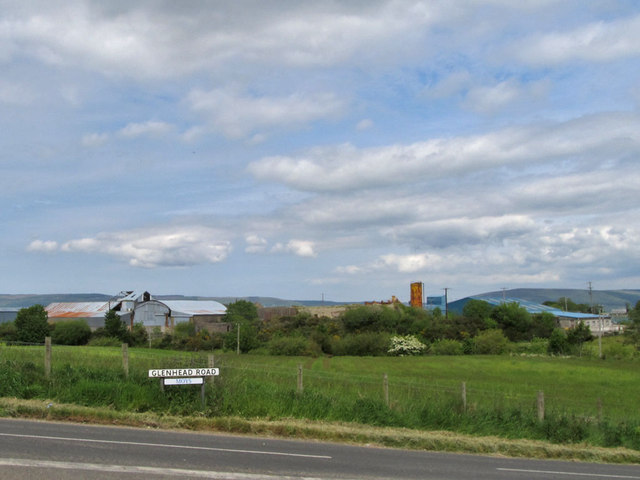
Gravel Works in the townland of Moys
Moys is a townland in a predominantly agricultural area of Co. Derry/Londonderry. There are also a number of small scale gravel quarries with their associated workings such as this one seen beyond the willows & hawthorn lining the Burnfoot Stream. Note the addition of the townland name to the street sign in the foreground.
Loading map... (JavaScript required)
- Grid Square
- C6518, 3 images (more nearby 🔍)
- Photographer
- SK53 (more nearby)
- Date Taken
- Monday, 15 June, 2015 (more nearby)
- Submitted
- Thursday, 15 October, 2015
- Subject Location
-
Irish:
 C 659 186 [100m precision]
WGS84: 55:0.6344N 6:58.1774W - Camera Location
-
Irish: C 658 184
- View Direction
- North-northeast (about 22 degrees)