2015
SX6147 : The river Erme by Owen's Hill
taken 9 years ago, near to Battisborough Cross, Devon, England
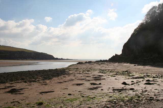
The river Erme by Owen's Hill
Near Erme Mouth, at low tide. It is possible to walk round to the estuary from Meadowsfoot Beach when the tide is out
 Map © Crown Copyright")
TIP: Click the map for more Large scale mapping
- Grid Square
- SX6147, 127 images (more nearby 🔍)
- Photographer
- Martin Bodman (more nearby)
- Date Taken
- Thursday, 15 October, 2015 (more nearby)
- Submitted
- Friday, 16 October, 2015
- Subject Location
-
OSGB36:
 SX 6137 4735 [10m precision]
WGS84: 50:18.5852N 3:56.8957W - Camera Location
-
OSGB36: SX 6139 4738
- View Direction
- Southwest (about 225 degrees)