2015
TM1159 : A140 Pains Hill, Little Stonham
taken 9 years ago, near to Little Stonham, Suffolk, England
This is 1 of 2 images, with title A140 Pains Hill, Little Stonham in this square
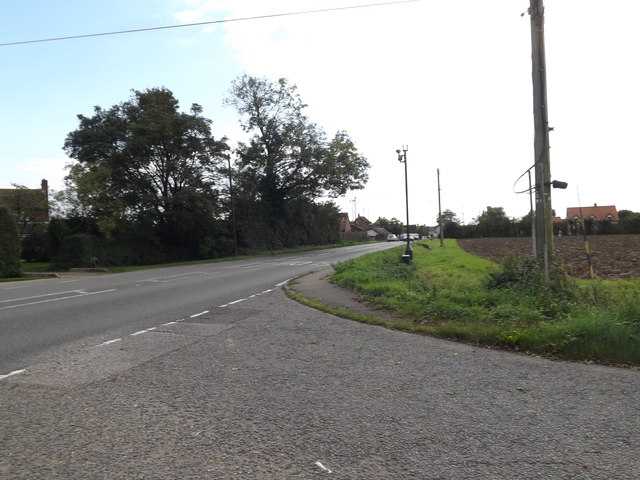
A140 Pains Hill, Little Stonham
At the junction with Church Lane
 Map © Crown Copyright")
TIP: Click the map for more Large scale mapping
- Grid Square
- TM1159, 55 images (more nearby 🔍)
- Photographer
- Geographer (more nearby)
- Date Taken
- Saturday, 26 September, 2015 (more nearby)
- Submitted
- Friday, 16 October, 2015
- Subject Location
-
OSGB36:
 TM 11870 59952 [1m precision]
WGS84: 52:11.8242N 1:5.9223E - Camera Location
-
OSGB36: TM 11866 59975
- View Direction
- SOUTH (about 180 degrees)