2015
TL8570 : DAF XF on The Street (A134) at Ingham
taken 9 years ago, near to Ingham, Suffolk, England
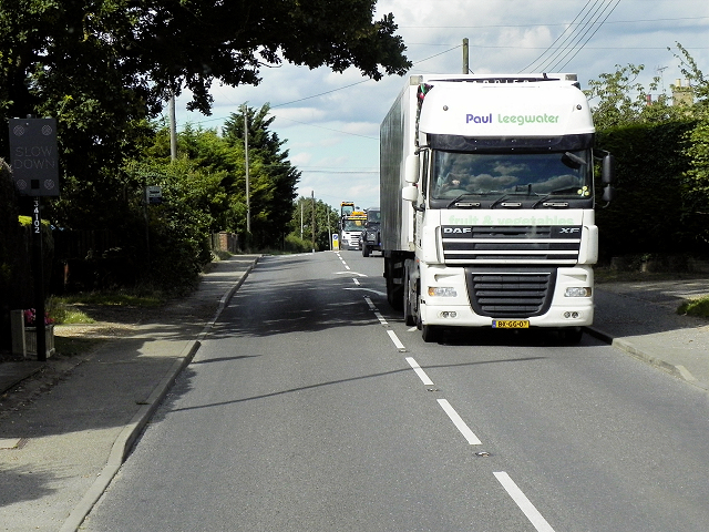
DAF XF on The Street (A134) at Ingham
The A134 road runs for 71 miles between Colchester, in Essex, and Tottenhill, a few miles to the south of King's Lynn, in Norfolk. Other towns on the A134 road include Sudbury, Bury St. Edmunds and Thetford.
The A134 used to be the main route for commercial traffic from the North to the port of Felixstowe; however since the construction of the A14 very little commercial traffic uses it.
More detailed information at Link SABRE Wiki
See other images of The A134
The A134 used to be the main route for commercial traffic from the North to the port of Felixstowe; however since the construction of the A14 very little commercial traffic uses it.
More detailed information at Link
See other images of The A134
 Map © Crown Copyright")
TIP: Click the map for more Large scale mapping
- Grid Square
- TL8570, 51 images (more nearby 🔍)
- Photographer
- David Dixon (more nearby)
- Date Taken
- Thursday, 6 August, 2015 (more nearby)
- Submitted
- Tuesday, 20 October, 2015
- Subject Location
-
OSGB36:
 TL 855 707 [100m precision]
WGS84: 52:18.2063N 0:43.1743E - Camera Location
-
OSGB36: TL 855 706
- View Direction
- North-northeast (about 22 degrees)