2015
NS4183 : Hedgerow near Westerton
taken 9 years ago, near to Auchencarroch, West Dunbartonshire, Scotland
Hedgerow near Westerton
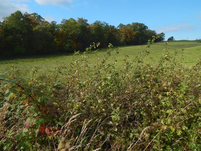
The hedgerow in the foreground is on the northern side of the road. The woodland edge in the background is the one that is depicted on the map as heading NNW from a point a little to the south-west on the same road. Compare NS4183 : Cattle, Westerton, a picture that clearly shows the same feature.
The foreground hedgerow itself is of hawthorn, and, in the part of it that is shown in this picture, I observed that at least half a dozen of the longest shoots projecting from its top ended in a type of plant gall called a Hawthorn button-top gall; these are caused by a species of gall midge, Dasineura crataegi. The galls themselves are not apparent in this picture: they are not very conspicuous, and it is likely that few people would notice them in passing.
For a closer look at this kind of gall, photographed elsewhere, see NS3976 : Hawthorn button-top gall; that more colourful and probably better-developed example was not part of a group, but occurred singly.
(As aside: The picture was taken on the course of a walk around a route known locally as the Horseshoe, which I had not followed in a while. In NS4382, near Merkins Farm, a sheep and a well-grown lamb had escaped from a field and were wandering on the road. With some patience, I managed to persuade them to go back through the hole in a fence through which they had escaped, before blocking it up with a piece of wood.)
 Map © Crown Copyright")
TIP: Click the map for more Large scale mapping
- Grid Square
- NS4183, 14 images (more nearby 🔍)
- Photographer
- Lairich Rig (more nearby)
- Date Taken
- Friday, 2 October, 2015 (more nearby)
- Submitted
- Thursday, 22 October, 2015
- Subject Location
-
OSGB36:
 NS 4161 8317 [10m precision]
WGS84: 56:0.9120N 4:32.5455W - Camera Location
-
OSGB36: NS 4162 8316
- View Direction
- West-northwest (about 292 degrees)