2015
NT3955 : Field path near Falahill
taken 8 years ago, 3 km from Heriot, Scottish Borders, Scotland
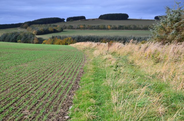
Field path near Falahill
Falahill farm is out of sight in the dip to the right. Fala Hill itself is in the background with shelter belts around the old quarries.
 Map © Crown Copyright")
TIP: Click the map for more Large scale mapping
- Grid Square
- NT3955, 20 images (more nearby 🔍)
- Photographer
- Jim Barton (more nearby)
- Date Taken
- Friday, 23 October, 2015 (more nearby)
- Submitted
- Saturday, 24 October, 2015
- Subject Location
-
OSGB36:
 NT 3911 5547 [10m precision]
WGS84: 55:47.3210N 2:58.3542W - Camera Location
-
OSGB36: NT 3918 5544
- View Direction
- West-northwest (about 292 degrees)