2015
SU9952 : Moorfield Road
taken 8 years ago, near to Jacobs Well, Surrey, England
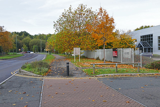
Moorfield Road
The main feeder road for the Slyfield Industrial Area near Guildford. The woods beyond the traffic lights is the Stoke Hill area of Stringers Common.
 Map © Crown Copyright")
TIP: Click the map for more Large scale mapping
- Grid Square
- SU9952, 95 images (more nearby 🔍)
- Photographer
- Alan Hunt (more nearby)
- Date Taken
- Sunday, 25 October, 2015 (more nearby)
- Submitted
- Monday, 26 October, 2015
- Subject Location
-
OSGB36:
 SU 9988 5235 [10m precision]
WGS84: 51:15.6942N 0:34.1953W - Camera Location
-
OSGB36: SU 9994 5233
- View Direction
- West-northwest (about 292 degrees)