2015
SE5626 : The navigable River Aire, West Haddlesey
taken 8 years ago, near to West Haddlesey, North Yorkshire, England
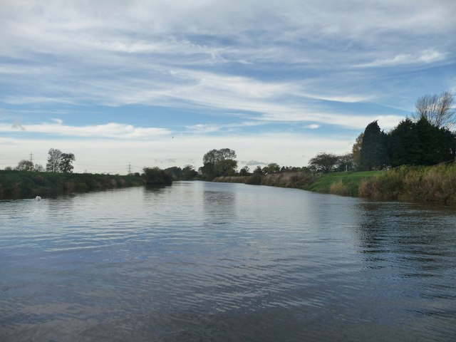
The navigable River Aire, West Haddlesey
Looking upstream [west] from the pipe bridge.
 Map © Crown Copyright")
TIP: Click the map for more Large scale mapping
- Grid Square
- SE5626, 44 images (more nearby 🔍)
- Photographer
- Christine Johnstone (more nearby)
- Date Taken
- Friday, 30 October, 2015 (more nearby)
- Submitted
- Thursday, 5 November, 2015
- Subject Location
-
OSGB36:
 SE 5696 2643 [10m precision]
WGS84: 53:43.8698N 1:8.2852W - Camera Location
-
OSGB36: SE 5698 2642
- View Direction
- West-northwest (about 292 degrees)