2015
SU8646 : Anti-tank Defences by the River Wey
taken 8 years ago, near to Runfold, Surrey, England
This is 1 of 4 images, with title Anti-tank Defences by the River Wey in this square
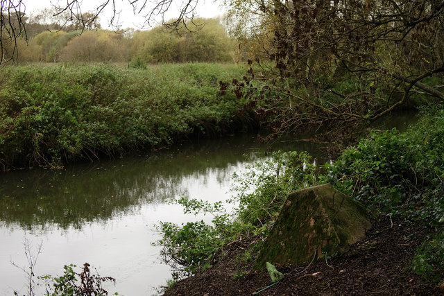
Anti-tank Defences by the River Wey
Part of the GHQ Line A, the outer of three defence lines constructed to protect London from possible invasion during WW2.
 Map © Crown Copyright")
TIP: Click the map for more Large scale mapping
- Grid Square
- SU8646, 57 images (more nearby 🔍)
- Photographer
- Peter Trimming (more nearby)
- Date Taken
- Wednesday, 11 November, 2015 (more nearby)
- Submitted
- Thursday, 12 November, 2015
- Subject Location
-
OSGB36:
 SU 8609 4690 [10m precision]
WGS84: 51:12.8893N 0:46.1288W - Camera Location
-
OSGB36: SU 8610 4690
- View Direction
- West-northwest (about 292 degrees)