2014
NG9311 : Tributary of the Allt Coire Mhàlagain
taken 10 years ago, near to Sgùrr na Sgine [hill or Mountain], Highland, Great Britain
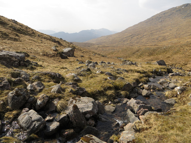
Tributary of the Allt Coire Mhàlagain
Taken while walking the Cape Wrath Trail.
 Map © Crown Copyright")
TIP: Click the map for more Large scale mapping
- Grid Square
- NG9311 (more nearby 🔍)
- Photographer
- Gary Dickson (more nearby)
- Date Taken
- Monday, 31 March, 2014 (more nearby)
- Submitted
- Saturday, 14 November, 2015
- Subject Location
-
OSGB36:
 NG 9356 1182 [10m precision]
WGS84: 57:9.0420N 5:24.8687W - Camera Location
-
OSGB36: NG 9359 1185
- View Direction
- Southwest (about 225 degrees)