2015
SD3996 : Path alongside Windermere, Bowness-on-Windermere
taken 9 years ago, near to Bowness-on-Windermere, Cumbria, England
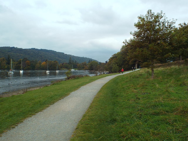
Path alongside Windermere, Bowness-on-Windermere
This path along the shore of the lake is on National Trust land, near Cockshott Point.
Windermere :: SD3997
Windermere is the largest natural lake in England. It is a ribbon lake formed in a glacial trough after the retreat of ice at the end of the last ice age some 13000 years ago.
The lake is largely surrounded by foothills of the Lake District which provide pleasant low-level walks; to the north and north-east are the higher fells of central Lakeland. It has been one of the country's most popular places for holidays and summer homes since the arrival of the Kendal and Windermere Railway's branch line in 1847.
 Map © Crown Copyright")
TIP: Click the map for more Large scale mapping
- Grid Square
- SD3996, 222 images (more nearby 🔍)
- Photographer
- Malc McDonald (more nearby)
- Date Taken
- Sunday, 11 October, 2015 (more nearby)
- Submitted
- Sunday, 15 November, 2015
- Subject Location
-
OSGB36:
 SD 3971 9616 [10m precision]
WGS84: 54:21.4432N 2:55.7530W - Camera Location
-
OSGB36: SD 3973 9614
- View Direction
- Northwest (about 315 degrees)