2015
TQ1880 : Benchmark on party wall pier of Nos. 28,30 Windsor Road
taken 8 years ago, near to Ealing, England
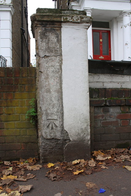
Benchmark on party wall pier of Nos. 28,30 Windsor Road
Ordnance Survey cut mark benchmark described on the Bench Mark Database at Link
 Map © Crown Copyright")
TIP: Click the map for more Large scale mapping
- Grid Square
- TQ1880, 249 images (more nearby 🔍)
- Photographer
- Roger Templeman (more nearby)
- Date Taken
- Monday, 16 November, 2015 (more nearby)
- Submitted
- Friday, 20 November, 2015
- Subject Location
-
OSGB36:
 TQ 1801 8065 [10m precision]
WGS84: 51:30.7477N 0:18.0482W - Camera Location
-
OSGB36: TQ 1801 8065
- View Direction
- WEST (about 270 degrees)