2015
SS8578 : Farmland just west of Tythegston
taken 8 years ago, near to Tythegston, Bridgend/Pen-y-Bont ar Ogwr, Wales
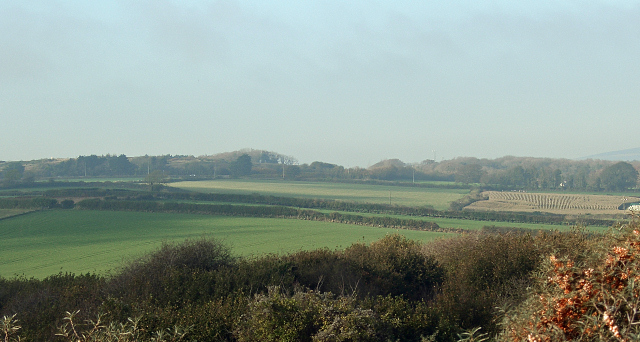
Farmland just west of Tythegston
Arable farmland to the south of the A4106 sloping downwards towards the hamlet (which lies just out of shot to the right). This view is from the same spot as SS8578 : Farmland between Wig Fach and Tythegston and slightly overlaps with it in its coverage.
 Map © Crown Copyright")
TIP: Click the map for more Large scale mapping
- Grid Square
- SS8578, 61 images (more nearby 🔍)
- Photographer
- eswales (more nearby)
- Date Taken
- Monday, 2 November, 2015 (more nearby)
- Submitted
- Monday, 23 November, 2015
- Subject Location
-
OSGB36:
 SS 856 782 [100m precision]
WGS84: 51:29.5178N 3:38.8752W - Camera Location
-
OSGB36: SS 861 777
- View Direction
- Northwest (about 315 degrees)